
Ogbadibo Local Government Area
Ogbadibo local government area was created in 1991. The local government area derives its name from the Ogbadibo stream which flows through the area.
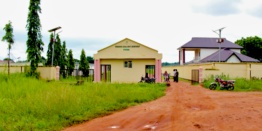
Headquarters:
Otukpa

Councils or Districts:
Otukpa (with 6 council wards),
Orokam (with 3 council wards), and
Owukpa (with 4 council wards).
Boundaries:
Ogbadibo Local Government Area Benue boundaries
- Okpokwu Local Government Area to the East.
Ogbadibo Local Government Area Kogi State boundaries
- Olamaboro Local Government Area to the North.
Ogbadibo Local Government Area Enugu State boundaries
- Udenu and Igbo-Eze North Local Government Areas to the West, and
- Isi-Uzo Local Government Area to the South.
Agriculture produce:
- Cassava,
- Millet,
- Palm wine, and
- Palm oil in commercial quantities.
Mineral Resources:
There are large coal and kaolin deposits in Owukpa and Orokam respectively.
Languages:
The people of the Ogbadibo local government area predominantly speak a dialect of Idoma language.