
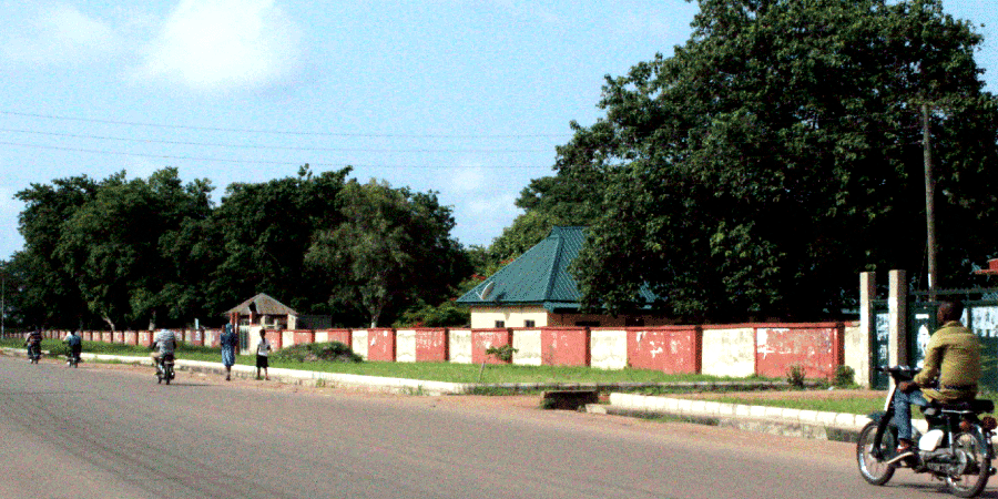
Katsina-Ala Local Government Area
Katsina-Ala Local Government Area was created in 1976, it is a cosmopolitan settlement on the Northern Bank of the river from which the town takes its name. Katsina-Ala was a river port town used extensively in the colonial period by the Royal Niger Company as a produce buying and evacuation centre for agricultural produce.
Headquarters:
Katsina-Ala.
Districts or Council Wards and Polling Units:
- Katsina-Ala Township
- Ikyurav-tiev I
- Ikyurav-tiev II
- Yooyo
- Utange
- Tiir
- Iwar
- Michihe
- Mbakyongo
- Mbajir
- Mbatyura/Mberev
- Mbacher
Katsina-Ala local government has One Hundred and Eighty Five (185) polling units across its Twelve districts in 12 Council wards.
Ethnic composition:
The main inhabitant of the town are the
- Tiv,
- Etelo,
- Hausa, and
- Fulani.
The later have a large cattle market that attracts buyers from as far away as Calabar and parts of Ebonyi State.
Distance from Makurdi, Benue State Capital:
126 Km
Boundaries:
Benue State boundaries
- To the North, Logo and Ukum Local Government Area,
- To the South, Kwande and Ushongo Local Government Area, and
- To the West, Buruku Local Government Area
Taraba State boundaries
- To the North East Takum, and Ussa Local Government Area.
Weather:
Like most parts of Nigeria, they are two main seasons which are:
- The rainy season lasts from April to October, and
- The dry season starts in November and lasts till March.
The Local Government Area lies in the guinea savannah vegetation while the eastern portion consists of undulating hills with shrubs. Annual rainfall ranges between 158mm – 180mm.
The people:
The people of Katsina-Ala Local Government Area of Benue State are mainly farmers. Over 75% of the population engages in agriculture, making Agriculture the mainstay of the economy of the people who are blessed with:
- Fertile soil,
- Good rainfall,
- Good drainage system
Which makes almost all the crops grow well in the climatic zone.
Agriculture produce:
The crops include
- Yams,
- Sorghum,
- Cassava,
- Yellow melon,
- Beniseed (sesame),
- Soybeans,
- Groundnut, and many others.
Farm tools:
Traditional farm tools are mostly used in cultivation of the soils such as
- Hoes,
- Matches, and
- Cutlasses
Cultural heritage:
The people of Katsina-Ala have a rich cultural heritage commonly expressed through their famous cultural dances such as:
- Gbasela,
- Takera,
- Agbega,
- Kwagh-hir, among others.
Prominent geographical features:
- River Katsina-Ala,
- The Harga Hills of Igneous Rock,
- River Yooyo,
- Loko, and
- Lake Akata.
Transportation:
It is located on trunk “A” highway that start from the port town of Calabar and Crosses the river at this point and connects to Jalingo and Yola.