
Archives

Organs of Benue State Government
Legislature: law-making function Executive: law implementation/enforcement function Judiciary: law interpretation/adjudication function Legislature: This power of law-making is vested upon the National Assembly (bicameral) at the Federal level and the House of Assembly (unicameral) for each of the States of the Federation at the State level. The National Assembly consists of: The Senate: The Senate has a total of one hundred […]
Read more →Benue Tourism and recreation
The recent emphasis placed by the Federal Government of Nigeria on tourism is predicated on the realization that tourism as an industry is a great earner of foreign exchange. Furthermore, the fact that leisure is increasingly gaining some prominence even in developing Nations means that more people are saving money to travel just for recreation. The development of scenic views, […]
Read more →
The Tiv People of Benue State
The Tiv a Semi-Bantu-stock from the Katanga region of Congo-Zaire had migrated to seven hills in the West of Cameroon between the year 1750 to 1800 when all the communities in the Apa region of the Kwororofa were in a state of turmoil. Hence it was easy for the arriving Tiv to fight their way into the land until they […]
Read more →Ethnic Composition
Benue State comprises of several ethnic groups which include: Tiv People of Benue State Idoma People of Benue State Igede People of Benue State Etulo People of Benue State Abakpa People of Benue State Jukun People of Benue State Hausa People of Benue State Akweya People of Benue State, and Nyifon People of Benue State Many of the ethnic groups […]
Read more →
Ushongo Local Government Area
Ushongo local government was created in May 1989 by the Babangida administration. The local government derives its name from Ushongo Hills located at Ushongo town in Mbayegh District. Headquarters: Lessel Location: Ushongo local government is located between latitude 70 Boundaries: North: Gboko Local Government Area and Buruku Local Governments Area, South: Vandeikya Local Government Area, East: Kwande Local Government Area, and West: Konshisha Local […]
Read more →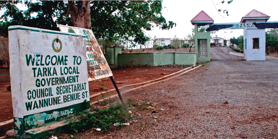
Tarka Local Government Area
Tarka Local Government Area was created on December 8th, 1996 by the Late Gen. Sani Abacha’s administration vide a presidential proclamation. The area was part of the present Gboko Local Government Area and administered as Mbakor District. The local government area is named after Late Chief (Dr.) Joseph Sarwuan Tarka, a renowned Mbakor born front-line Nigerian nationalist and fighter for […]
Read more →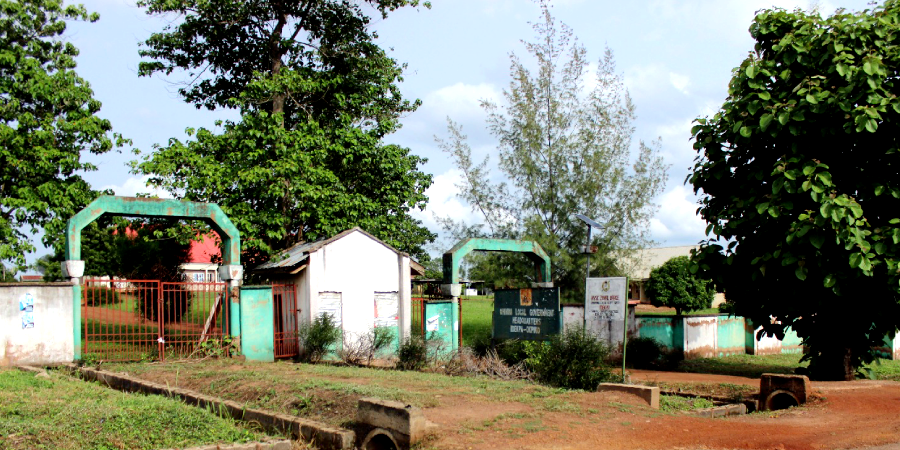
Ohimini Local Government Area
Ohimini Local Government Area was created on the 5th December, 1996. And it derives its name from the beautiful Ohimini stream that flows in the area. Headquarter: Idekpa Geo-location: South-East Population: 176,000 (2006) Languages: Idoma Distance from: Makurdi Local Government Area 2hrs 25mins Area code: DKP Council wards: Ochobo, Onyangede, Agadagba, Atilo, Awulema, Awule, Ugene, Ehatokpe, Ojali, Ojano, Okete, and Ankpechi. […]
Read more →
Obi Local Government Area
Obi local government Nigeria was created on the 10th October 1996. It was carved from the former Oju local government and derives its name from River Obi, which runs through the length and breadth of the local government area. It is also considered as the ‘home of hospitality and it’s predominantly inhabited by the Igede people of Ito descent. Headquarters: […]
Read more →Agatu Local Government Area
Agatu local government area was carved out of Apa local government area. Headquarters: Obagaji Created: In October 1996 Population: By the 1991 census, it has a population of about 80,000 Boundaries: Apa local government to the South, Gwer West to the East, and West by Kogi State to the West. Council wards: The local government has ten council wards. Agricultural […]
Read more →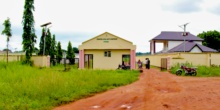
Ogbadibo Local Government Area
Ogbadibo local government area was created in 1991. The local government area derives its name from the Ogbadibo stream which flows through the area. Headquarters: Otukpa Councils or Districts: Otukpa (with 6 council wards), Orokam (with 3 council wards), and Owukpa (with 4 council wards). Boundaries: Ogbadibo Local Government Area Benue boundaries Okpokwu Local Government Area to the East. Ogbadibo […]
Read more →