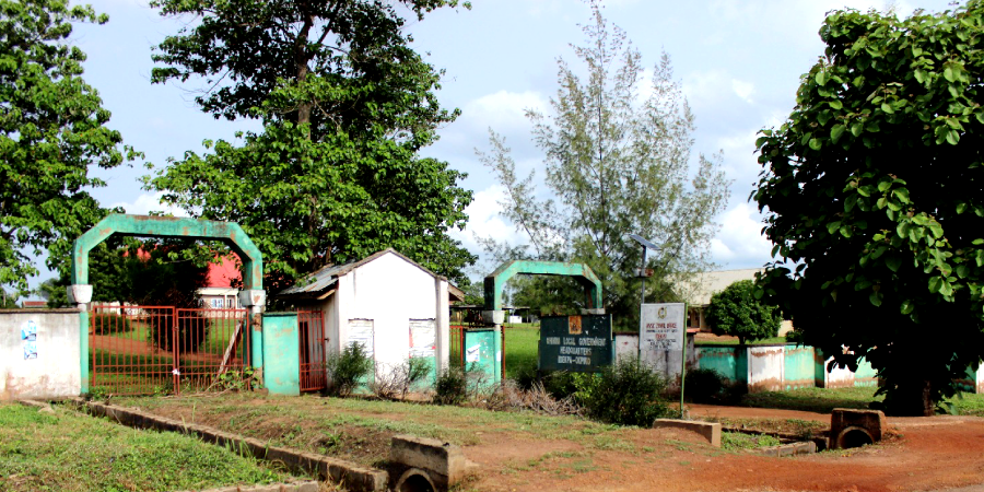
Ohimini Local Government Area
Ohimini Local Government Area was created on the 5th December, 1996. And it derives its name from the beautiful Ohimini stream that flows in the area.
Headquarter:
Idekpa
Geo-location:
South-East
Population:
176,000 (2006)
Languages:
Idoma
Distance from:
Makurdi Local Government Area 2hrs 25mins
Area code:
DKP
Council wards:
- Ochobo,
- Onyangede,
- Agadagba,
- Atilo,
- Awulema,
- Awule,
- Ugene,
- Ehatokpe,
- Ojali,
- Ojano,
- Okete, and
- Ankpechi.
Boundaries:
Ohimini Local Government Benue borders
Ohimini Local Government Kogi State borders
- Olamaboro Local Government Area, and
- Ankpa Local Government Areas.
Occupation:
- Farming, and
- Trading
Agriculture produce:
Main produce
- Yam,
- Guinea corn,
- Groundnut,
- Maize, and
- Cassava.
Mineral resources:
- Coal Chalk,
- Kerosene, and
- Precious stone
