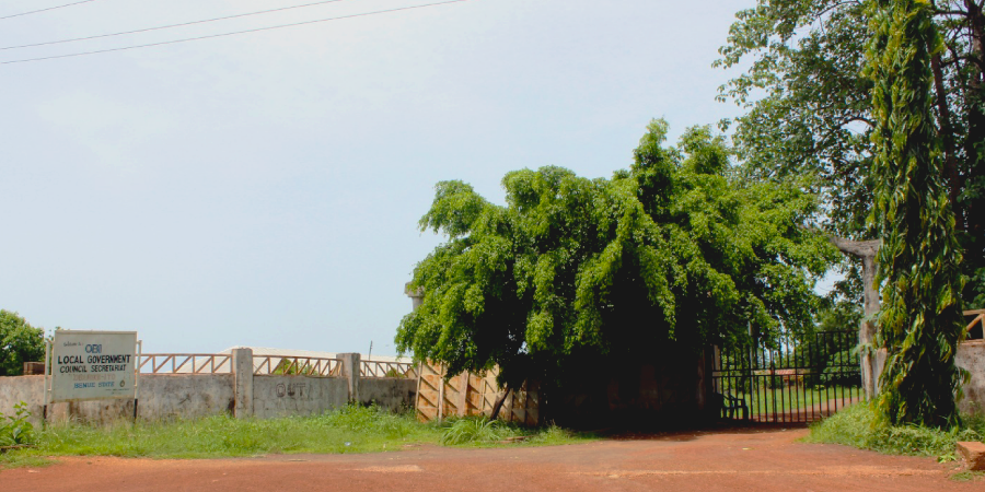
Obi Local Government Area
Obi local government Nigeria was created on the 10th October 1996. It was carved from the former Oju local government and derives its name from River Obi, which runs through the length and breadth of the local government area. It is also considered as the ‘home of hospitality and it’s predominantly inhabited by the Igede people of Ito descent.
Headquarters:
Obarike-Ito (Ito Barracks)
Major Towns:
- Adum East,
- Itogo,
- Okpokwu, and
- Ikwokwu
Created:
10th October 1996
Geo-Location:
South Central
Landmass:
195 Sq km
Population:
98,550 (2006)
Languages:
Igede
Boundaries:
- Ado Local Government Area,
- Otukpo Local Government Area, and
- Oju Local Government Area of Benue State.
Occupation:
Farming
Farmer produce:
The main farm produce are:
- Maize,
- Cassava,
- Groundnut, and
- Yams
Mineral resources:
- Banxite
- Limestone
- Crude oil
- Tin Ore, and
- Copper
Distance from Makurdi:
1:30hr
Major towns:
- Adum East,
- Itogo,
- Okpokwu, and
- Ikwokwu
Area Code:
BRT
Council Wards:
- Obarike-Ito council ward
- Orihi council ward
- Okwutungbe council ward
- Ogore council ward
- Okpokwu council ward
- Odiapa council ward
- Obeko council ward
- Itogo council ward
- Irabi council ward
- Ikwokwu council ward
- Akum West council ward, and
- Adiko council ward
