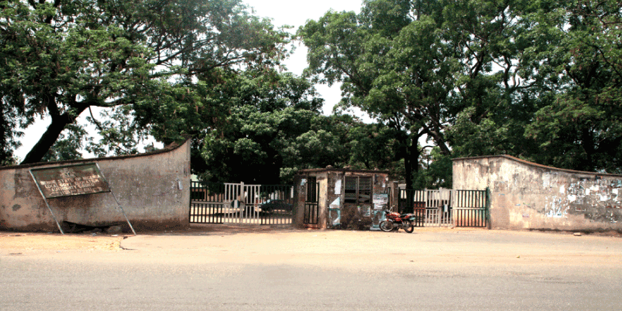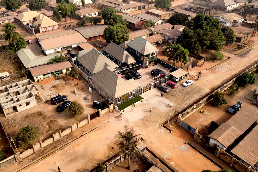
Gboko Local Government Area
Date created:
11th May 1970
Headquarter:
Gboko
Landmass:
2,264 Sqr Km
Population:
358,936 (2006 census)
Languages:
Tiv, Hausa and English
Occupation:
- Farming,
- Trading, and
- Civil Service
Mineral resources:
Limestone
Industry:
Dangote Cement Plc
Special tribute:
Traditional seat of Tor Tiv and Tiv traditional Headquarters
Distance from Makurdi:
92Km (1hr)
Landmark:
- Gboko Hills in the North
- Mkar Hills at the East
- J. S. Tarka Tomb
Area Code:
GBK

Districts, Council Wards, and Polling Units:
- Mbakpegh Council Ward
- Igyorov Council Ward
- Mbatan Council Ward
- Gboko-South Council Ward
- Mbatser Council Ward
- Mbakwen Council Ward
- Gboko-North-West Council Ward
- Mbaanku Council Ward
- Mbadim Council Ward
- Gboko-Central Market Council Ward
- Yandev-South Council Ward
- Yandev-North Council Ward
- Ukpekpe Council Ward
- Mbatyu Council Ward
- Mbadam Council Ward
- Gboko-East Council Ward, and
- Mbaaverakaa Council Ward
There are Seventeen (17) council wards and Eighteen (18) districts in Gboko. Gboko-North-West Council Ward has Two (2) districts.
Gboko local government has Three Hundred and Forty-Five (345) polling units.
